Guinea-Bissau
The Republic of Guinea-Bissau
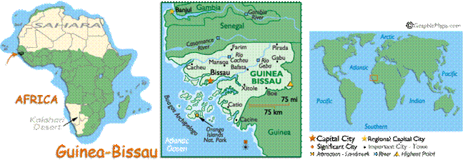
is a country in western Africa, and one of the smallest states in continental Africa. It is bordered by Senegal
and Guinea, with the Atlantic Ocean to its west. Its size is nearly
37,000 square kilometers with an estimated population of 1,600,000.
Formerly the Portuguese colony of Portuguese Guinea, upon independence, the
name of its capital, Bissau, was added to the
country's name to prevent confusion with the Republic of Guinea.
Guinea-Bissau's GDP per capita is one of the lowest in the world.
Guinea-Bissau was once part of the kingdom of Gabu, part of the Mali Empire;
parts of this kingdom persisted until the eighteenth century, while others were
part of the Portuguese Empire. Portuguese Guinea was known also, from its main
economic activity, as the Slave Coast. The
Portuguese presence in Guinea
was largely limited to the port
of Bissau and Cacheu.
An armed rebellion beginning in
1956 by the African Party for the Independence of Guinea and Cape Verde (PAIGC)
gradually consolidated its hold on then Portuguese Guinea. Unlike guerrilla
movements in other Portuguese colonies, the PAIGC rapidly extended its military
control over large portions of the territory. By 1973, the PAIGC was in control
of many parts of Guinea.
Independence
was unilaterally declared on September 24, 1973.
The country was controlled by a
revolutionary council until 1984. The first multi-party elections were held in
1994, but an army uprising in 1998 led to the president's ousting and the Guinea-Bissau
Civil War. Elections were held again in 2000.