Madagascar
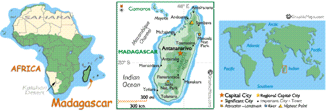
Madagascar, or Republic of Madagascar
(older name Malagasy Republic),
is an island nation in the Indian Ocean off the southeastern coast of Africa. The main island, also called Madagascar, is the fourth-largest island in the
world, and is home to 5% of the world's plant and animal species, of which more
than 80% are endemic to Madagascar.
As it is located on an important
trade route, Madagascar
enjoyed a relatively long time prosperous before France
invaded Madagascar
in 1883. In 1890, the British accepted the full formal imposition of a French
protectorate. In 1896 France
annexed Madagascar.
During World War II, Malagasy
troops fought in France, Morocco, and Syria. After France fell to Germany,
the Vichy government administered Madagascar.
During the Battle of Madagascar, British troops occupied the island in 1942 to
preclude its seizure by the Japanese, after which the Free French took over.
In 1947, with French prestige at
low ebb, the Malagasy Uprising broke out. It was suppressed after over a year
of bitter fighting, with 40,000 to 90,000 people killed. The French later
established reformed institutions in 1956 and Madagascar moved peacefully towards
independence. The Malagasy Republic was
proclaimed on October 14, 1958, as an
autonomous state within the French Community. A period of provisional
government ended with the adoption of a constitution in 1959 and full
independence on June 26, 1960.
Madagascar is among poorest countries in the World,
two thirds of the population lives below the international poverty line of
US$1.25 a day.