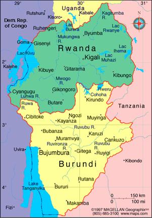
Ruanda-Urundi
The independent Kingdoms of
Rwanda and Burundi were
annexed by Germany along
with the other states of the Great Lakes
region in the late 19th and early 20th centuries. Attached to German
East Africa.
In the First World War, the area
was conquered by forces from the Belgian Congo
in 1916. The Treaty of Versailles divided German East Africa with the vast
majority known as Tanganyika
going to Great Britain.
The westernmost portion, which was formally referred to as the Belgian Occupied
East African
Territories went to Belgium. In
1924, as the League of Nations issued a formal mandate that granted Belgium full control over the area, the area
officially became Ruanda-Urundi.
Independence came largely as a result of actions elsewhere. In the 1950s, an
independence movement arose in the Belgian Congo,
and the Belgians became convinced they could no longer control the territory.
In 1960, Ruanda-Urundi's larger neighbor gained its independence. After two
more years of hurried preparations, the colony became independent on July 1,
1962, broken up along traditional lines as the independent nations of Rwanda and Burundi. It took two more years
before the government of the two became wholly separate