East Timor

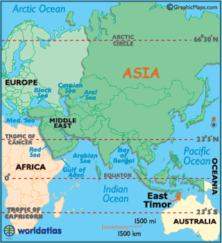
East
Timor, officially the Democratic Republic of Timor-Leste, is
a country in Southeast Asia. It comprises the
eastern half of the island of Timor, the nearby islands of Atauro and Jaco, and
Oecusse, an exclave on the northwestern side of the island, within Indonesian
West Timor. The country's size is about
15,410 km2.
East Timor was colonized by Portugal in the 16th century, and was known as
Portuguese Timor until Portugal's
decolonization of the country. In late 1975, East Timor declared its
independence but later that year was invaded and occupied by Indonesia and was declared Indonesia's
27th province the following year. In 1999, following the United
Nations-sponsored act of self-determination, Indonesia
relinquished control of the territory, and East Timor
became the first new sovereign state of the 21st century on May 20, 2002. After
independence, East Timor became a member of
the United Nations and the Community of Portuguese Language Countries. It is
one of only two predominantly Roman Catholic countries in Asia.